UK storms: Five things you should know

- Published
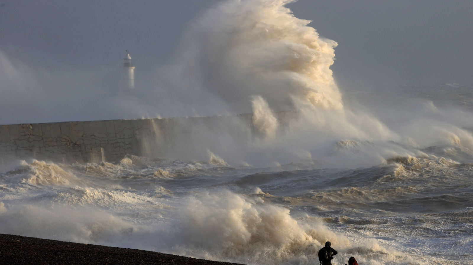
Autumn and winter often bring stormy conditions to the UK, with strong winds, rain and or even snow.
There can be travel disruption, flooding, damage to homes and businesses and power cuts.
But, what exactly is a storm and what should you do when you hear one is forecast?
Here are five things you should know.
A deep area of low pressure is expected to bring stormy conditions to parts of the UK this Sunday
1. What is a storm?
Storms can either be individual thunderstorms or, as is the case for this explanation, a larger weather pattern of a deep area of low pressure.
We often get areas of low pressure forming in the mid-Atlantic and crossing the United Kingdom.
There is no set definition of what makes a "normal" area of low pressure a "storm", but it will often entail gales or severe gales, heavy rain or significant snowfall.
Areas of low pressure are created by the jet stream - a fast moving wind high in the atmosphere - that is on the boundary of cold and warm air masses.
Air is forced upwards high into the atmosphere, lowering the pressure at the surface and resulting in air rushing in to replace it while rotating with the spin of the Earth.
The result is strong winds, lots of cloud and precipitation.
Storm names for the 2024/25 season were announced on 1 September
2. When is a storm named?
One of three meteorological agencies can officially name a storm in the UK: the Met Office, Ireland's Met Éireann, or the KNMI, the Netherlands meteorological institute.
It is also possible for the UK to experience severe, stormy weather from the remnants of an ex-hurricane. In such a case, it would keep its original hurricane name.
The names are selected before the season starting on 1 September with the names following the letters of the alphabet.
Naming a low pressure system as a storm happens when one of the above bodies believes that the impacts of strong winds, rain or snow will become notable for some parts.
It would normally be associated with severe weather warnings being issued too.
By naming a storm, the hope is more people will take notice of the communication regarding the impacts expected.
3. What is a weather bomb?
Weather bombs are storms that have undergone a period of rapid intensification. The technical term is explosive cyclogenesis.
This is when an area of low pressure deepens - or gets more powerful - by at least 24 millibars in 24 hours.
Cyclo: a cyclone circulation - genesis: the origin or development of.
The name weather bomb, which has become popular over the past decade, comes from the US term bombogenesis.
If explosive cyclogenesis happens to occur as the storm is near to or even across the UK, it can make the impacts more severe.
Severe weather warnings are issued based on likelihood and impacts on this matrix
4. What should I do when weather warnings are issued?
There are three levels of weather warning from the Met Office: yellow, amber and red, red being the most severe.
They can be issued for a range of different types of weather elements but most commonly in a named storm it would be for either wind, rain or snow.
Warnings are issued based on how much confidence there is in the forecast and level of expected impacts.
Yellow warnings can be issued when there is low confidence of a high impact, many days ahead. Or, in the shorter term, when there is high confidence but relatively low impact.
If one is issued for your location, you should be aware of potential bad weather and keep across the latest forecasts. Warnings are likely to be updated and could be upgraded.
Amber warnings are less common but indicate when impacts are at the higher end of the scale. They normally cover a smaller area than a yellow with a good amount of confidence of impacts.
If issued in your location you should stay up to date with the forecast and be prepared for some disruption to your normal day-to-day activities.
Red warnings, which are rarely issued, are the highest level where there is high confidence of severe impacts.
You should take any action necessary to protect yourself and follow further advice given by officials and emergency services.
- Published4 September
5. Will storms get worse with climate change?
There is ongoing research into how storms in the UK are affected by climate change.
Despite more named storms in the 2023/24 season than we have seen since naming storms started in 2015, there is unconvincing evidence that the frequency of storms is increasing with climate change.
In fact, one study that analysed "stormy days" in the UK .
However, there is more clear evidence that when a storm hits, there will be more rainfall associated with it.
Scientists found that climate change - with 1.2C of global warming today - has increased the amount of rainfall from a storm, making them about 20% more intense.
If our globe warms to 2C above pre-industrial levels, average rainfall in storms could increase by a further 4%.
- Published17 October